Right before the new year, my buddy Temo and I drove out to the Columbia River Gorge to do the Rock of Ages Loop. The trail is 10 miles, while gaining around 3000 ft of elevation. Over the last hiking season, I have been trying to knock out all the steep, scrambling hikes in the Gorge. This trail in particular sees a lot of traffic by those training for the alpine treks up the Cascades.
This loop starts at the Horsetail Falls trailhead, and begins by climbing up to Ponytail Falls. On this particular day, Search and Rescue were on this section of trail, looking for a 14 year old boy who got lost the day before. We kept our eyes peeled for him, hoping to become heroes before we got back (S&R found him later that day).
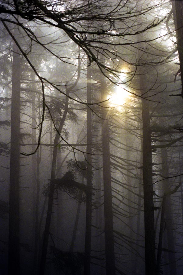
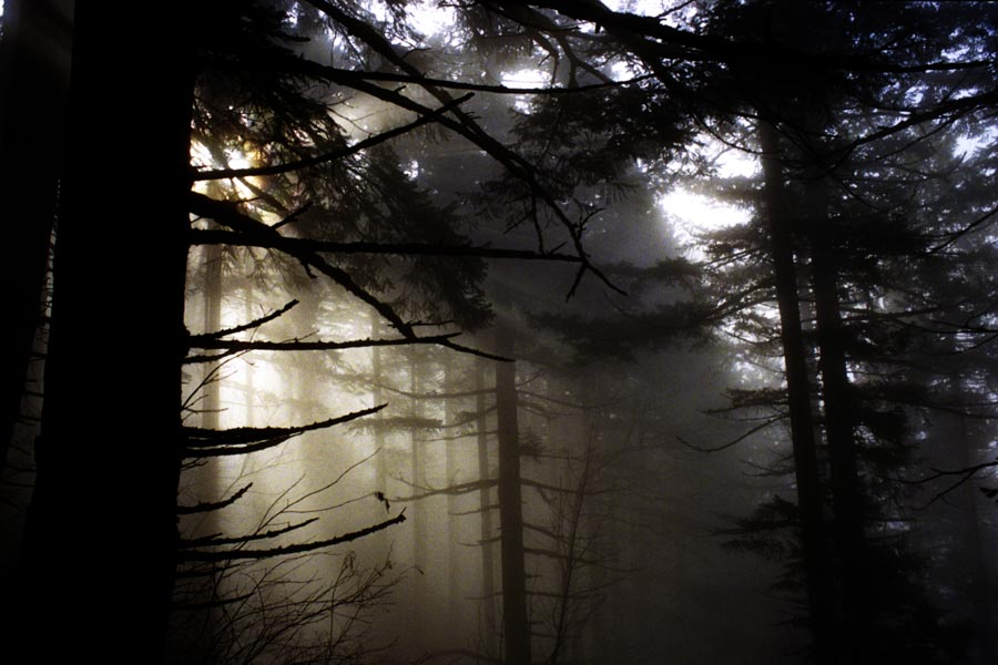
Just before reaching Ponytail Falls, a faint and unmaintained trail cuts steeply up the hill. This section of trail has steep, muddy switchbacks, which at times forces you to grab tree roots to pull yourself up. As we gained elevation, we became immersed in a thick, dense fog. We could barely see more than 5 feet in front of us. The Rock Arch, a notable feature on the trail that normally provides picturesque views of the Gorge, was covered in fog. A slight disappointment. Huffing up the trail, the sun finally started to break through the fog and created some lovely photo opportunities of the forest bathed in fog.


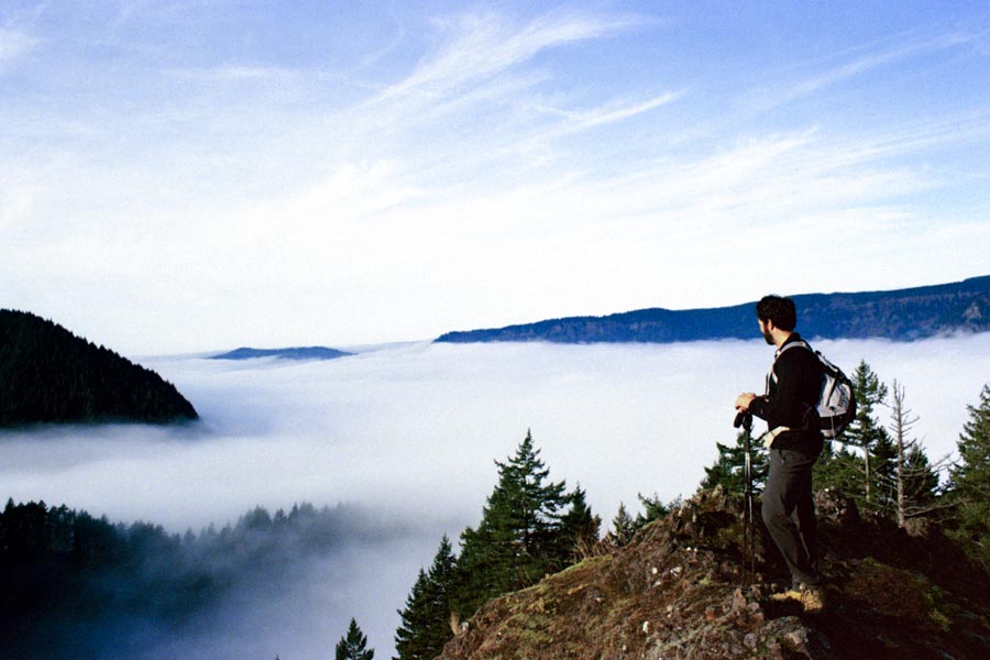
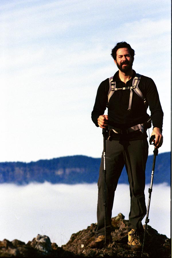
After 0.9 miles of climbing, we fully broke through the fog and arrived at the Devil's Backbone - a prominent rocky ridge. We were now standing atop the fog that was hanging low in the gorge. The fog made the Gorge look like it was a large body of water. With the sunny fully ablaze now, we warmed up before heading back into the woods.
The trail continues to steeply climb for another 1.7 miles, until we hit the intersection of the Horsetail Creek trail. At this point, we have come to the highest point in the trail. Over the last 2.6 miles, we climbed 3000 ft of elevation - and my legs could feel it. Sore and tired, we grabbed a quick bite to eat before continuing on.
From here, the trail turns relatively flat and crosses a number of creeks. It was super soft from all the fallen needles, and was a very vibrant red color in contrast to the bright green forest. Along this section of trail, I spotted a large patch of what we later discovered were hedgehog mushrooms. We took a moment to fill up Temo's backpack. I believe his wife made a lovely risotto that evening with the fruits of our hike.
The trail turns sharply downhill, cutting down switchbacks until we got to Oneonta Creek. Here, we reached our final obstacle - fording Oneonta Creek. In the summer, this creek would be easy to "rock hop" across. But during a sunny winter, with what little snow already melting, the creek was raging. Rather than risk getting our feet wet and suffering the last 5 miles, we decided to use a fallen log to cross the creek. This large log was sitting at a 20-30 degree angle and, at it's highest point, 15 feet above the creek. It was also covered in moss, was wet, and dangerously slick. After the steep hike up, we took a "groveling" approach to the log, which quickly turned into straddling and holding on for dear life. This was sketchy at best.
After surviving this obstacle, the trail followed the creek through lush forest. The knee-pounding decent crossed several campsites, eventually passes bd Triple Falls and Upper Oneonta Falls, climbs up the other side of the Oneonta Gorge, and descends back to Ponytail Falls where the trail originally split.
We made it back to the car and marked the Rock of Ages loop off the list. If you are looking for a steep hike, with nice views (when not foggy) that continues on in lush forest along a roaring creek, check this one out!
Most photos (except the Triple Falls photo) was taken on my Nikon FM2n with Kodak Ultramax 400 film, and scanned on an Epson V700. Triple Falls was taken with a Hasselblad 500cm, with Kodak Ektar 100.


